Aerial Mapping & Inspection
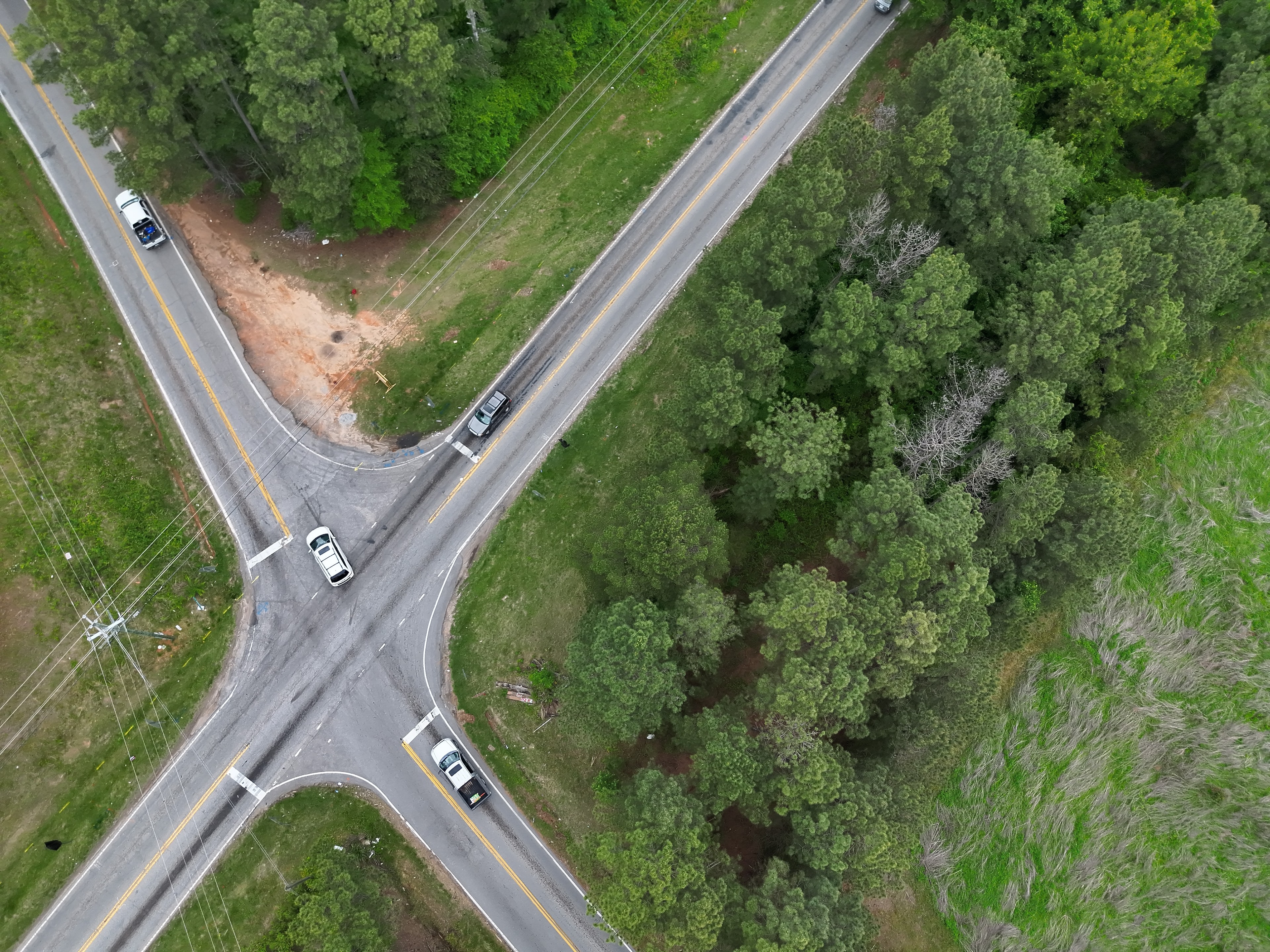
Turn aerial imagery into site maps, models and inspection records. GRG coordinates specialist collection and reporting for construction progress, asset inspections, stockpile measurements and thermal observations.
Scope & deliverables
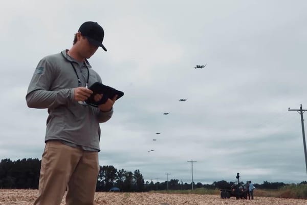
Start with the question you need answered. We agree the collection area, required detail, delivery formats and intended use, then coordinate the aircraft, sensors and processing needed for the project.
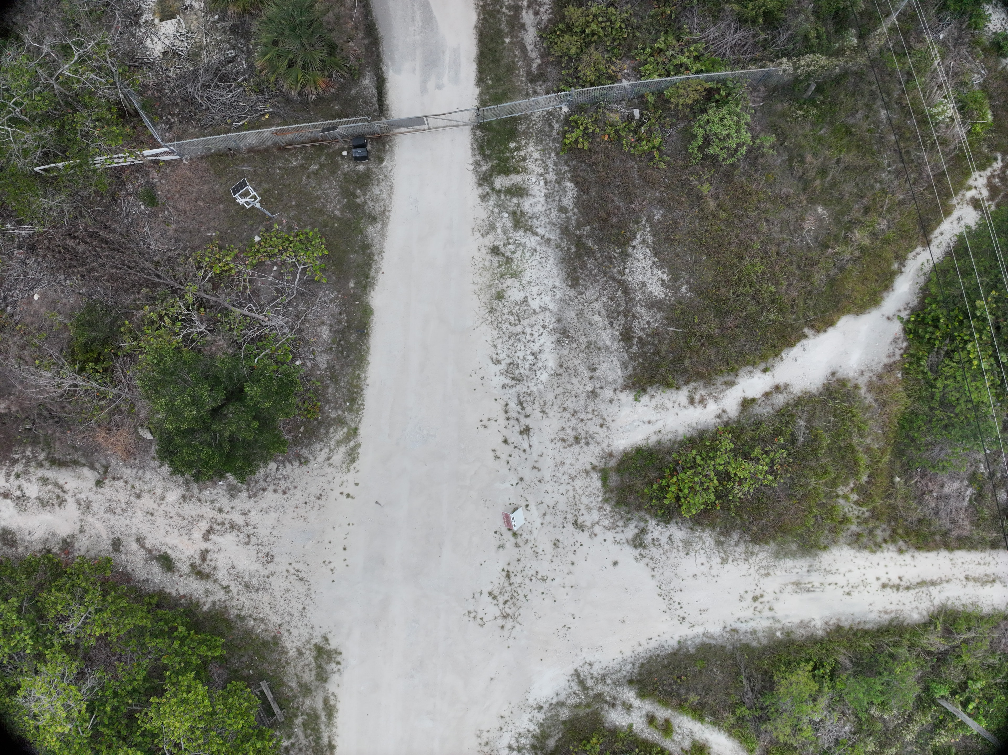
- Georeferenced site maps and stitched aerial maps (orthomosaics).
- 3D models, point clouds and elevation surfaces.
- Stockpile and earthwork volume estimates with measurement reports.
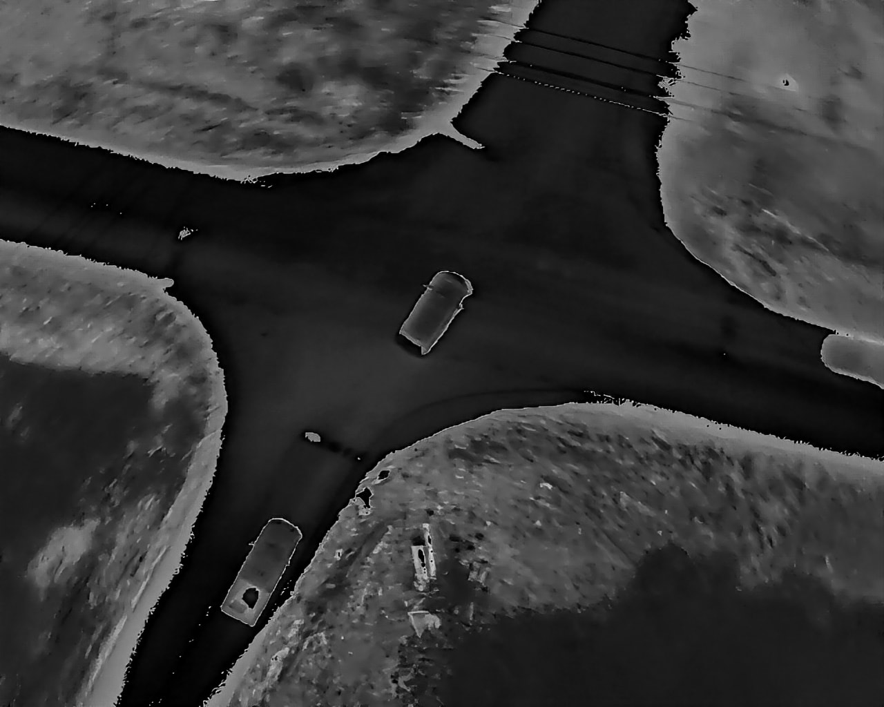
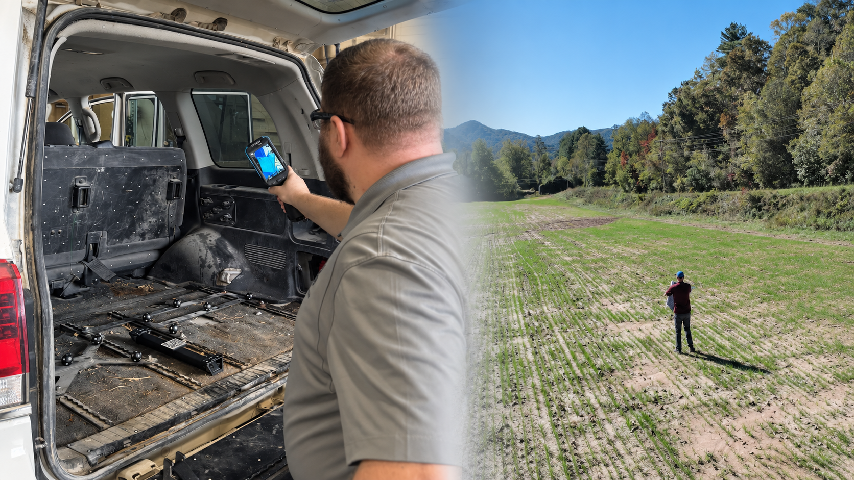
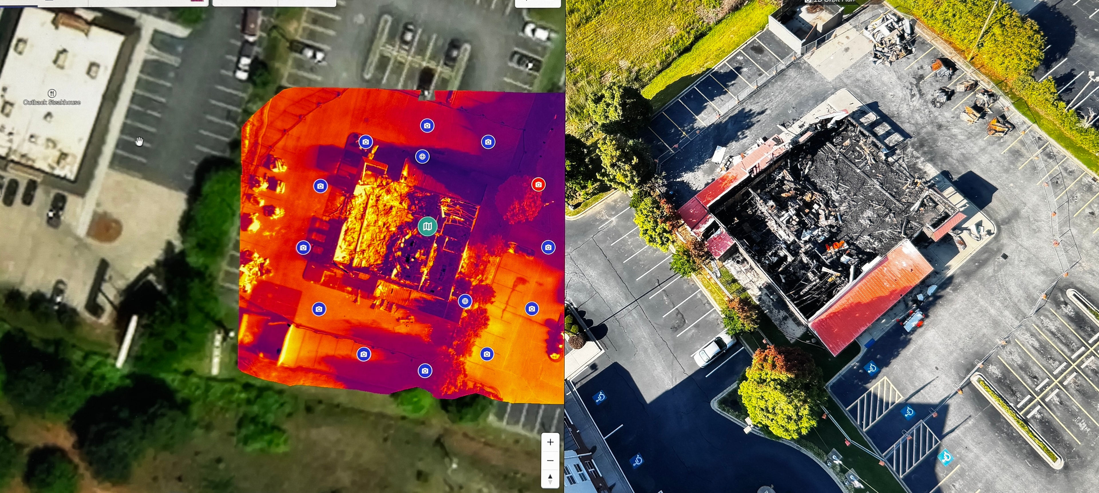
- Thermal imagery with findings reports.
- Dated, tagged photographs and video inspection records.
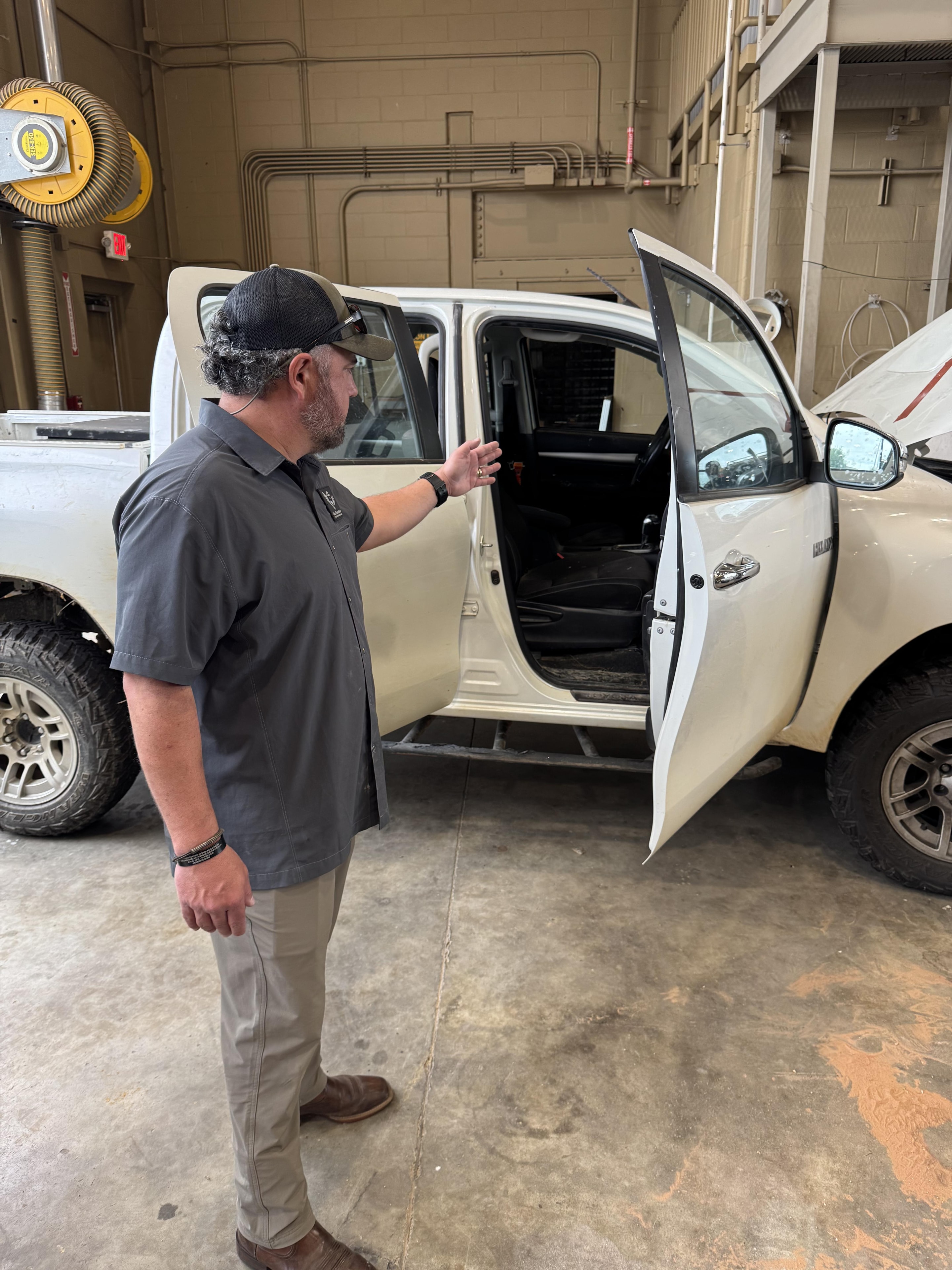
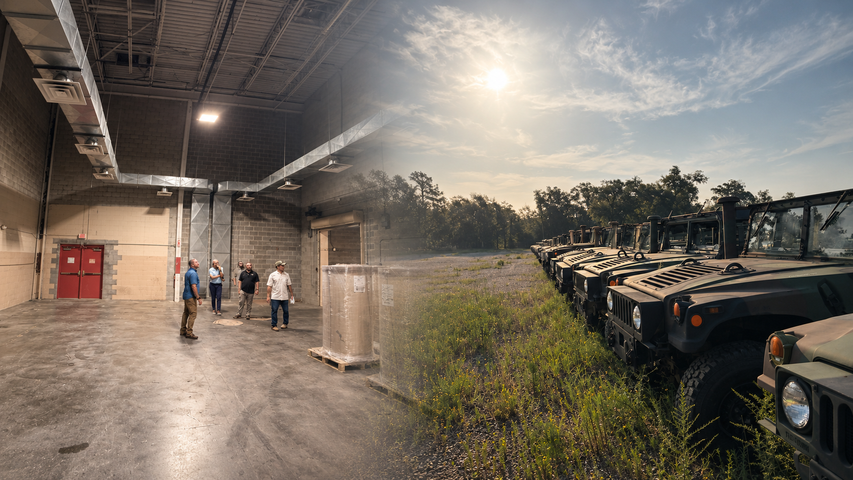
Applications include construction progress, site planning, quarries and landfills, utilities and solar assets, and public-works or storm-damage documentation.
Projects that require regulated surveying or engineering are scoped with appropriately licensed professionals.